New York State Vector Map Regions Isolated - Stockillustratie
"Detailed vector map of New York State with administrative divisions. File was created on October 29, 2012. The colors in the .eps-file are ready for print (CMYK). Included files: EPS (v8) and Hi-Res JPG (5600aa aaa 4577 px)."

Bestel uw ingelijste foto direct en bekijk de diverse opties op Photos.com.
LICENTIE KOPEN
Alle royalty free licenties bieden wereldwijde gebruiksrechten en uitgebreide bescherming. Daarnaast zijn er eenvoudige tarieven met volumekortingen beschikbaar.
€ 335,00
EUR
Getty ImagesNew York State Vector Map Regions Isolated, Stockfoto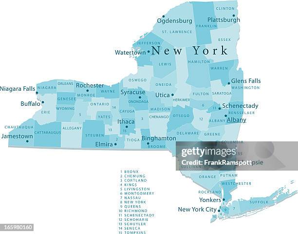 Download premium, authentieke New York State Vector Map Regions Isolated stockillustraties van Getty Images. Verken vergelijkbare stockillustraties met hoge resolutie in onze uitgebreide visuele catalogus.Product #:165980160
Download premium, authentieke New York State Vector Map Regions Isolated stockillustraties van Getty Images. Verken vergelijkbare stockillustraties met hoge resolutie in onze uitgebreide visuele catalogus.Product #:165980160€335€50
Getty Images
In stockGEGEVENS
Credits:
Creatief nr.:
165980160
Soort licentie:
Collectie:
DigitalVision Vectors
Max. bestandsgrootte:
4623 x 3629 px (65,97 x 51,78 cm) - 178 dpi - 6 MB
Datum van uploaden:
Release-informatie:
Model en property release
Categorieën:
- Staat New York,
- Kaart,
- Stad New York,
- Albany - Staat New York,
- Buffalo - New York,
- Vectorafbeelding,
- Rochester - New York,
- Syracuse - New York,
- Long Island,
- Adirondack State Park,
- Blauw,
- Buiten de steden gelegen gebied,
- Cartografie,
- Clipart,
- Computergrafieken,
- Digitaal beeld,
- Horizontaal,
- Illustratie,
- Kleurenfoto,
- Noord-Amerika,
- Uitsnede,
- Utica - New York,
- Verenigde Staten,
- Witte achtergrond,
- Yonkers,
- Zonder mensen,