Historical city map of Arles, France, lithograph, published in 1880 - Stockillustratie
Historical city map of Arles, France. Lithograph, published in 1880.

Bestel uw ingelijste foto direct en bekijk de diverse opties op Photos.com.
LICENTIE KOPEN
Alle royalty free licenties bieden wereldwijde gebruiksrechten en uitgebreide bescherming. Daarnaast zijn er eenvoudige tarieven met volumekortingen beschikbaar.
€ 335,00
EUR
Getty ImagesHistorical City Map Of Arles France Lithograph Published In 1880, Stockfoto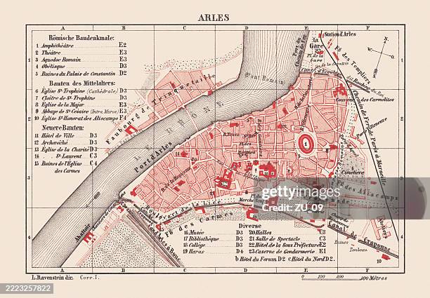 Download premium, authentieke Historical city map of Arles, France, lithograph, published in 1880 stockillustraties van Getty Images. Verken vergelijkbare stockillustraties met hoge resolutie in onze uitgebreide visuele catalogus.Product #:2223257822
Download premium, authentieke Historical city map of Arles, France, lithograph, published in 1880 stockillustraties van Getty Images. Verken vergelijkbare stockillustraties met hoge resolutie in onze uitgebreide visuele catalogus.Product #:2223257822€335€50
Getty Images
In stockGEGEVENS
Credits:
Creatief nr.:
2223257822
Soort licentie:
Collectie:
DigitalVision Vectors
Max. bestandsgrootte:
7850 x 5450 px (66,46 x 46,14 cm) - 300 dpi - 38 MB
Datum van uploaden:
Locatie:
France
Release-informatie:
Property release
Categorieën:
- 19e eeuw,
- Achtergrond - Thema,
- Arles,
- Beige achtergrond,
- Beroemde plaats,
- Binnenstad,
- Bouches-du-Rhone,
- Cartografie,
- Chromolithografie,
- Culturen,
- Europa - Geografische locatie,
- Europese cultuur,
- Frankrijk,
- Franse cultuur,
- Geschiedenis,
- Gravure - Gefabriceerd object,
- Gravure - Illustratietechniek,
- Het verleden,
- Horizontaal,
- Illustratie,
- Kaart,
- Kleurenfoto,
- Litho,
- Oud,
- Oudheden,
- Plan,
- Provence-Alpes-Côte d'Azur,
- Reis,
- Reisbestemmingen,
- Reizen,
- Rhône,
- Rhône Rivier,
- Rivier,
- Rood,
- Stad,
- Stadje,
- Stadsplattegrond,
- Tekening,
- Toerisme,
- Topografie,
- Topografische kaart,
- UNESCO Werelderfgoed,
- Verouderd,
- Zonder mensen,
- Zuid-Europa,