Chicago Coastline Map - Stockillustratie
A very large, detailed map of the coastline of Chicago, from the Rogers Park area in the north to the Jackson Park area in the south. Includes roads, highways, parks, neighborhoods and points of interest – all on separate layers.

Bestel uw ingelijste foto direct en bekijk de diverse opties op Photos.com.
LICENTIE KOPEN
Alle royalty free licenties bieden wereldwijde gebruiksrechten en uitgebreide bescherming. Daarnaast zijn er eenvoudige tarieven met volumekortingen beschikbaar.
€ 335,00
EUR
Getty ImagesChicago Coastline Map, Stockfoto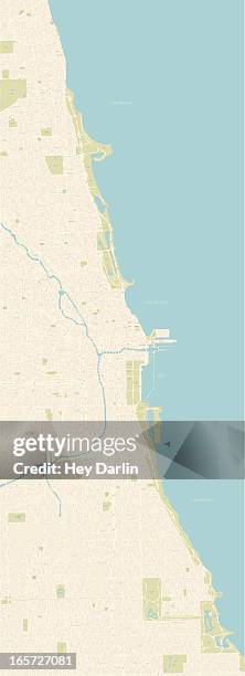 Download premium, authentieke Chicago Coastline Map stockillustraties van Getty Images. Verken vergelijkbare stockillustraties met hoge resolutie in onze uitgebreide visuele catalogus.Product #:165727081
Download premium, authentieke Chicago Coastline Map stockillustraties van Getty Images. Verken vergelijkbare stockillustraties met hoge resolutie in onze uitgebreide visuele catalogus.Product #:165727081€335€50
Getty Images
In stockGEGEVENS
Credits:
Creatief nr.:
165727081
Soort licentie:
Collectie:
DigitalVision Vectors
Max. bestandsgrootte:
2456 x 6779 px (102,27 x 282,27 cm) - 61 dpi - 16 MB
Datum van uploaden:
Release-informatie:
Model en property release
Categorieën:
- Chicago - Illinois,
- Kaart,
- Buckingham Fountain,
- Stadsplattegrond,
- Vectorafbeelding,
- Betrouwbaarheid,
- Cartografie,
- Chicago Rivier,
- Goose Island State Park,
- Grant Park - Loop,
- Het Middenwesten van de Verenigde Staten,
- Illinois,
- Illustratie,
- Kunstacademie van Chicago,
- Lincoln Park - Chicago,
- Michiganmeer,
- Navy Pier,
- Noord-Amerika,
- Reisbestemmingen,
- Reizen,
- Shedd Aquarium,
- Toerisme,
- University Of Chicago,
- Verenigde Staten,
- Vervoer,
- Woongebied,
- Zonder mensen,