Antique Map of Victoria, Australia - Stockillustratie
Antique map of the State of Victoria, Australia, from 1867

Bestel uw ingelijste foto direct en bekijk de diverse opties op Photos.com.
LICENTIE KOPEN
Alle royalty free licenties bieden wereldwijde gebruiksrechten en uitgebreide bescherming. Daarnaast zijn er eenvoudige tarieven met volumekortingen beschikbaar.
€ 335,00
EUR
Getty ImagesAntique Map Of Victoria Australia, Stockfoto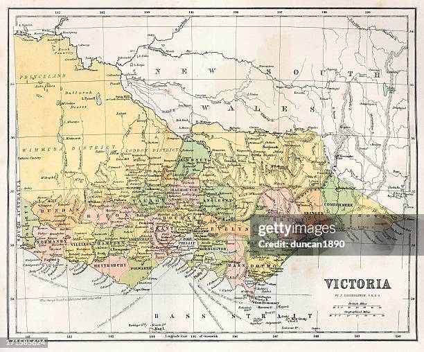 Download premium, authentieke Antique Map of Victoria, Australia stockillustraties van Getty Images. Verken vergelijkbare stockillustraties met hoge resolutie in onze uitgebreide visuele catalogus.Product #:171585624
Download premium, authentieke Antique Map of Victoria, Australia stockillustraties van Getty Images. Verken vergelijkbare stockillustraties met hoge resolutie in onze uitgebreide visuele catalogus.Product #:171585624€335€50
Getty Images
In stockGEGEVENS
Credits:
Creatief nr.:
171585624
Soort licentie:
Collectie:
DigitalVision Vectors
Max. bestandsgrootte:
4995 x 4147 px (42,29 x 35,11 cm) - 300 dpi - 21 MB
Datum van uploaden:
Release-informatie:
Geen release vereist
Categorieën:
- Kaart,
- Victoria - Australië,
- Australië,
- Illustratie,
- Ouderwets,
- Retrostijl,
- Torquay - Australië,
- Yarra-vallei,
- 19e eeuw,
- 19e-eeuwse stijl,
- Antiek - Ouderwets,
- Apparatuur,
- Australazië,
- Bay of Islands Coastal Park,
- Benalla,
- Bendigo,
- Blairgowrie - Australië,
- Cape Otway,
- Cartografie,
- Discovery Bay - Australië,
- Drukken,
- Fotografie,
- Frankston,
- Geelong,
- Geschiedenis,
- Gravure - Illustratietechniek,
- Het verleden,
- Horizontaal,
- Kleurenfoto,
- Melbourne - Australië,
- Mildura,
- Mornington schiereiland,
- Mount Macedon,
- Navigatieapparatuur,
- Noorat,
- Oceanië,
- Otway Ranges,
- Oud,
- Phillip Island,
- Point Henry,
- Point Wilson,
- Port Campbell,
- Port Fairy,
- Stijlen,
- Tabel,
- Victoriaanse stijl,