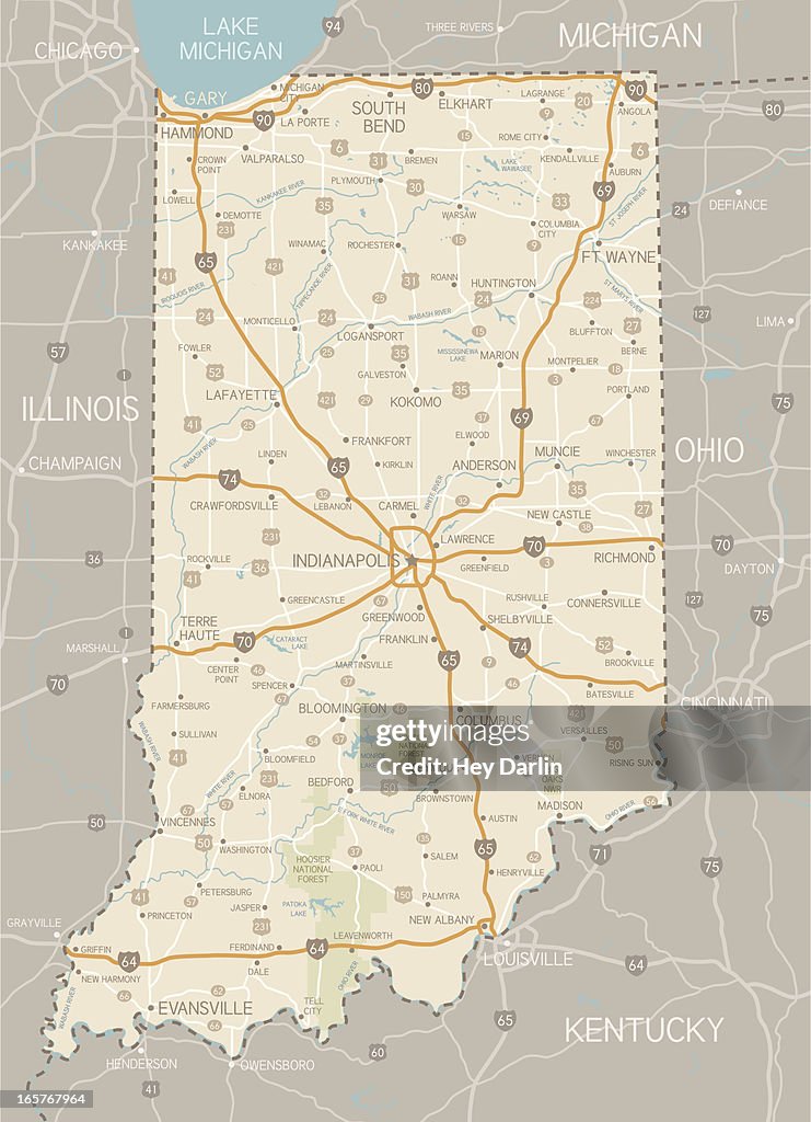
Indiana Map - Stockillustratie
A detailed map of Indiana state with cities, roads, major rivers, and lakes plus National Forests. Includes neighboring states and surrounding water.

Bestel uw ingelijste foto direct en bekijk de diverse opties op Photos.com.
LICENTIE KOPEN
Alle royalty free licenties bieden wereldwijde gebruiksrechten en uitgebreide bescherming. Daarnaast zijn er eenvoudige tarieven met volumekortingen beschikbaar.
€ 475,00
EUR
GEGEVENS
Credits:
Creatief nr.:
165767964
Soort licentie:
Collectie:
DigitalVision Vectors
Max. bestandsgrootte:
3485 x 4814 px (50,87 x 70,27 cm) - 174 dpi - 6 MB
Datum van uploaden:
Release-informatie:
Geen release vereist
Categorieën: